GIS

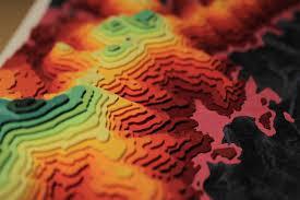
ZULMAP provides a holistic approach for GIS solutions for local government and the private sector, where both the end-user as well as management can benefit from its GIS. Services include the following:

- Municipal Infrastructure & Strategic Planning Support
- System Development
- Town Planning
- Spatial Data Integration & Conversions
- Environmental Studies
- Remote Sensing

REMOTE SENSING
ZULMAP provides state of the art remote sensing products and solutions to its clients. End-products are used in, amongst others, the following sectors:

- Agriculture
- Thermography
- Bathymetry
- Town Planning
- Surveying
- Engineering
SURVEYING

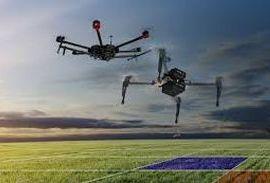
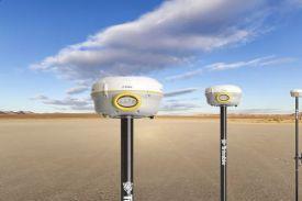
ZULMAP provides comprehensive surveying methods, tailor-made for each unique objective and outcome. Methods include drone surveys, thermography, and high precision land surveying. Application can be used in various fields, including:

- Mining
- Engineering
- GIS

PROVIDING SUSTAINABLE, HANDS-ON SOLUTIONS AND PRODUCTS

We Value Customer Satisfaction


NATURE OF BUSINESS

ZULMAP's primary focus is providing support services to local government as well as the private sector in the SURVEYING and GIS service fields.